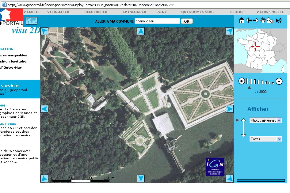
Recently the French government launched a geo-portal (GeoPortail en francais) with satellite pictures and maps of France and France-associated places around the world. The detail is pretty cool. Here's Le Château de Chenonceau:
Here's the smaller of the two formal gardens, to the left in the arial shot, as seen from inside the Château:
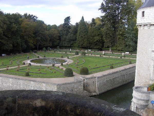
That one's not from the website, but from my own camera. It gives you a good idea of the scale the satellites can achieve. The building itself is amazing -- it actually spans the river. Worth a detour to experience if you find yourself on The Continent.

Kate